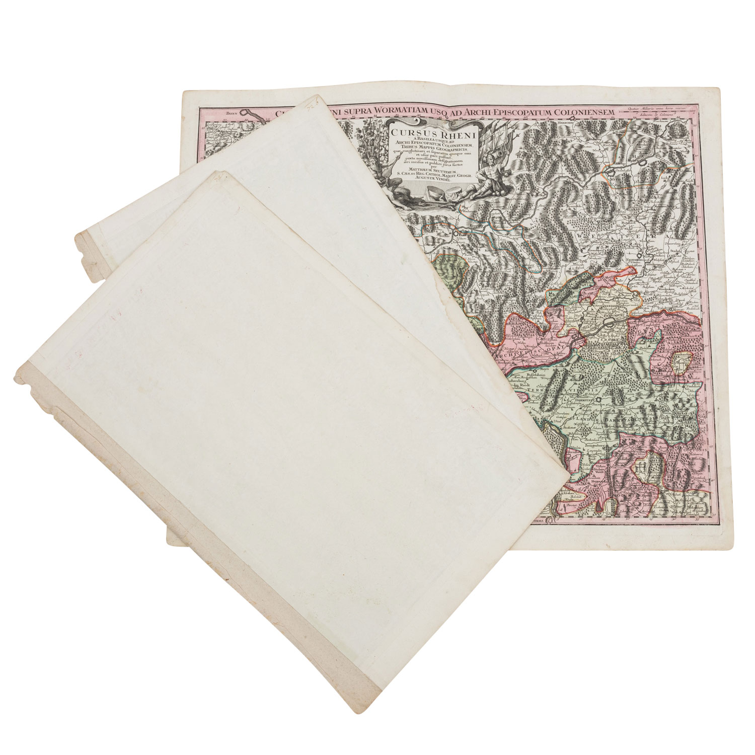
Darstellung des Rheinlaufs vom Bodensee bis Bonn, von Matthaeus Seutter. "Cursus Rheni a Basilea usque ad Archi-episcopatum Coloniensem, Tribus Mappis Geographicis, quae conglutinari et separatim quoque emi et usur pari possunt, iuxta novissimam designationem aeri incisus et publici juris factus per Matthaeum Seutterum, S. Caes. Et Reg. Cathol. Majest. Geogr. Augustae Vindel. Rheinlaufkarte von 3 Platten gedruckt. Alle drei Karten mit zusätzlicher Titelleiste. Großformatig mit Mittelfalz. Mit Alters-und Gebrauchsspuren, Knicke, Flecke, Einrisse.
| 3 copper engraved maps of the course of the Rhine, hand coloured, M. Seutter, 18th/19th century - Depiction of the course of the Rhine from Lake Constance to Bonn, by Matthaeus Seutter. "Cursus Rheni a Basilea usque ad Archi-episcopatum Coloniensem, Tribus Mappis Geographicis, quae conglutinari et separatim quoque emi et usur pari possunt, juxta novissimam designationem aeri incisus et publici juris factus per Matthaeum Seutterum, S. Caes. Et Reg. Cathol. Majest. Geogr. Augustae Vindel. Map of the course of the Rhine printed from 3 plates. All three maps with additional title bar. Large format with centrefold. With signs of age and usage, creases, stains, tears.
Kategorie:
Historika