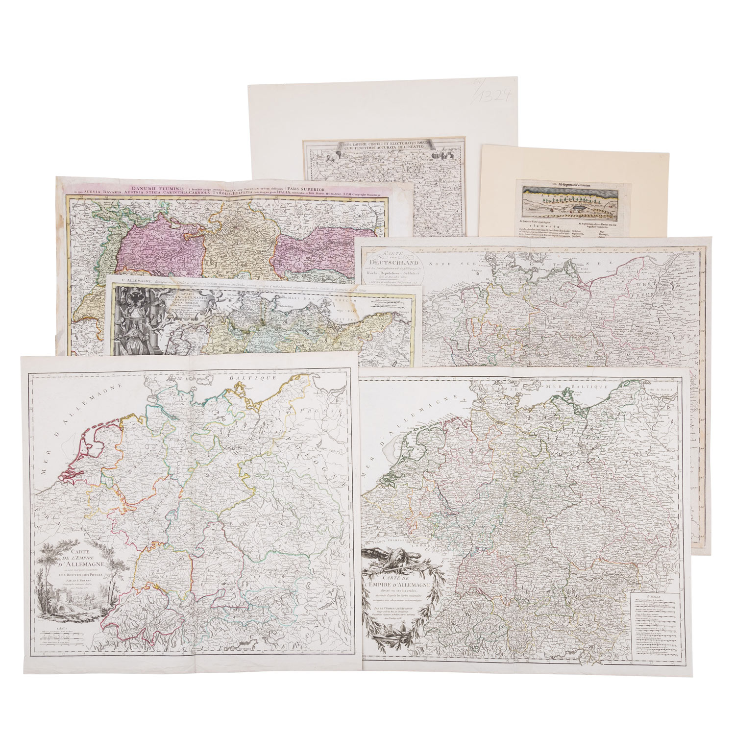
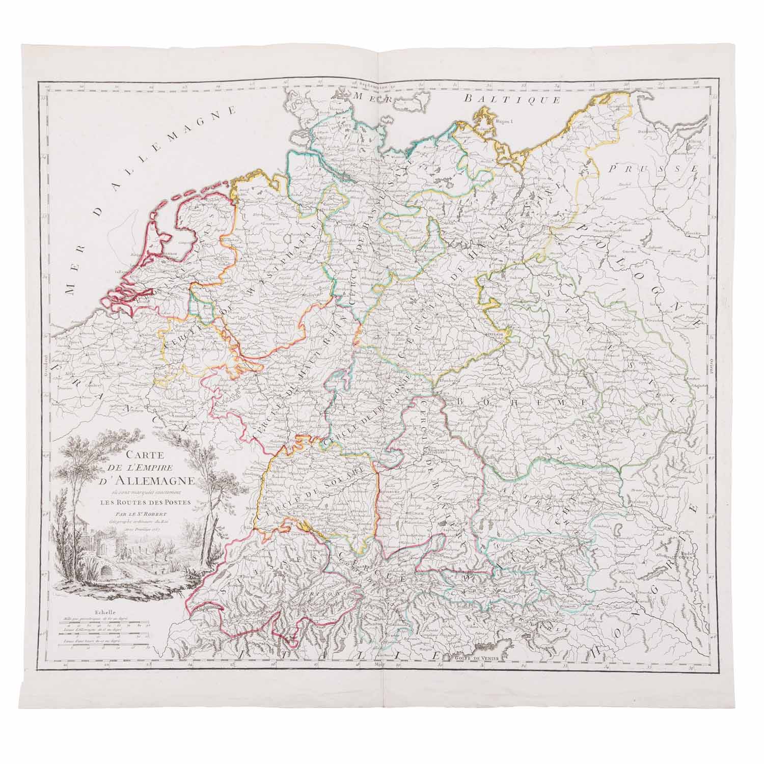
davon 4 x Gesamtansichten von Deutschland, darunter die 'Karte von Deutschland nach den Säkularisationen und Entschädigungen des Reichs-Deputations-Schlusses vom 20. November 1802' von J. Walch 1804. Außer dem 'Danubii Fluminis Pars Superior' mit Schwaben, Bayern, Österreich, Styria, Krain, Schweiz, Tirol und Teilen Italiens, von J.B. Homann 1730, 1 x Ansicht von Bayern 'Rom Imperii circuli et electoratus Bavariae' von Michael Wening 1710. In Präsentationsmappe. Mittelfalz, angerissen, Verfärbungen und Flecken, teilweise geklebt und mit Text auf der Rückseite, handkoloriert.
| Historical copper engraved maps with the focus on Germany, 18th/19th cent. - of which 4 x general views of Germany, including the 'Map of Germany after the secularizations and compensations of the Imperial Deputation Resolution of November 20, 1802' by J. Walch 1804. Besides the 'Danubii Fluminis Pars Superior' with Swabia, Bavaria, Austria, Styria, Carniola, Switzerland, Tyrol and parts of Italy, by J.B. Homann 1730, 1 x view of Bavaria 'Rom Imperii circuli et electoratus Bavariae' by Michael Wening 1710, In presentation folder. Centerfold, torn, discoloration and stains, partially glued and with text on the back, hand colored.
Kategorie:
Historika