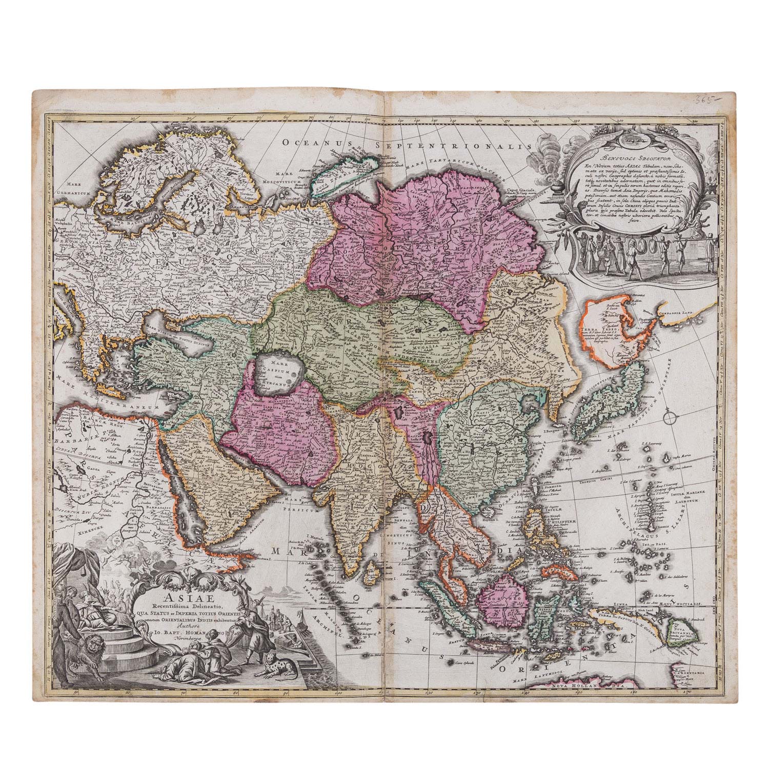
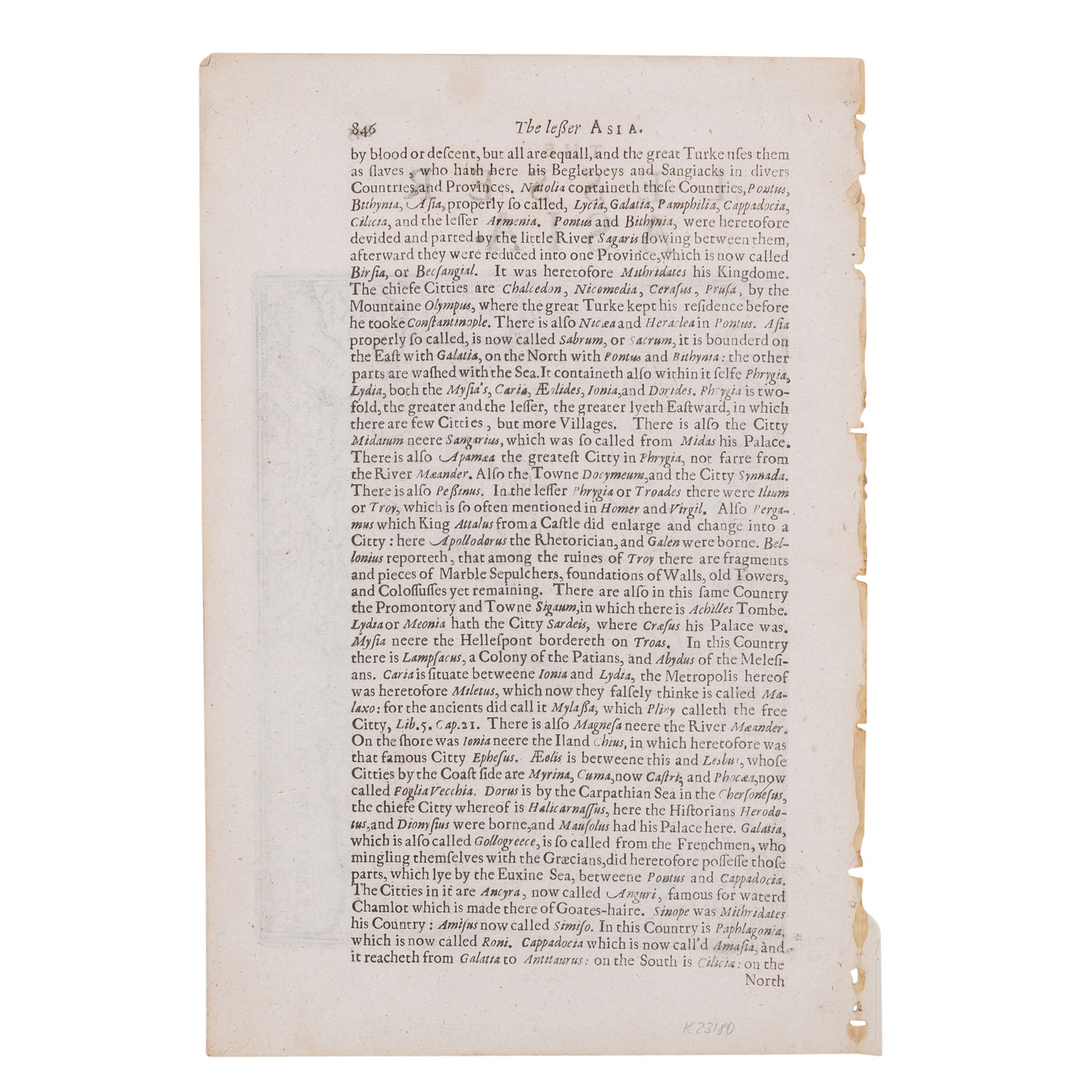
'Asiae Recentissima Delineatio qua status et Imperia totius Orientis' Karte von Asien von J. B. Homann, mit den Maßen 60 x 53 cm, Risse an der Mittelfalz, Flecken, Altersspuren, handkoloriert. Außerdem 'The Lesser Asia' mit Reiseroute des Apostel Paulus, in Papierrahmen, Buchseite aus Mercator-Hondius Atlas, Text auf Rückseite, Ränder eingerissen, gebräunt und mit Flecken, Maße ca. 19 x 28 cm.
| Historical copper engraved maps of Asia and the Near East 17th and 18th century - 'Asiae Recentissima Delineatio qua status et Imperia totius Orientis' map of Asia by J. B. Homann, measuring 60 x 53 cm, tears at centerfold, stains, traces of age, hand colored. Except the 'The Lesser Asia' with itinerary of the Apostle Paul, in paper frame, book page from Mercator-Hondius Atlas, text on back, edges torn, browned and with stains, dimensions about 19 x 28 cm.
Category::
historical