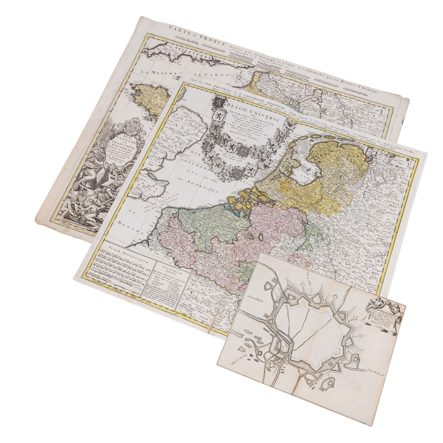
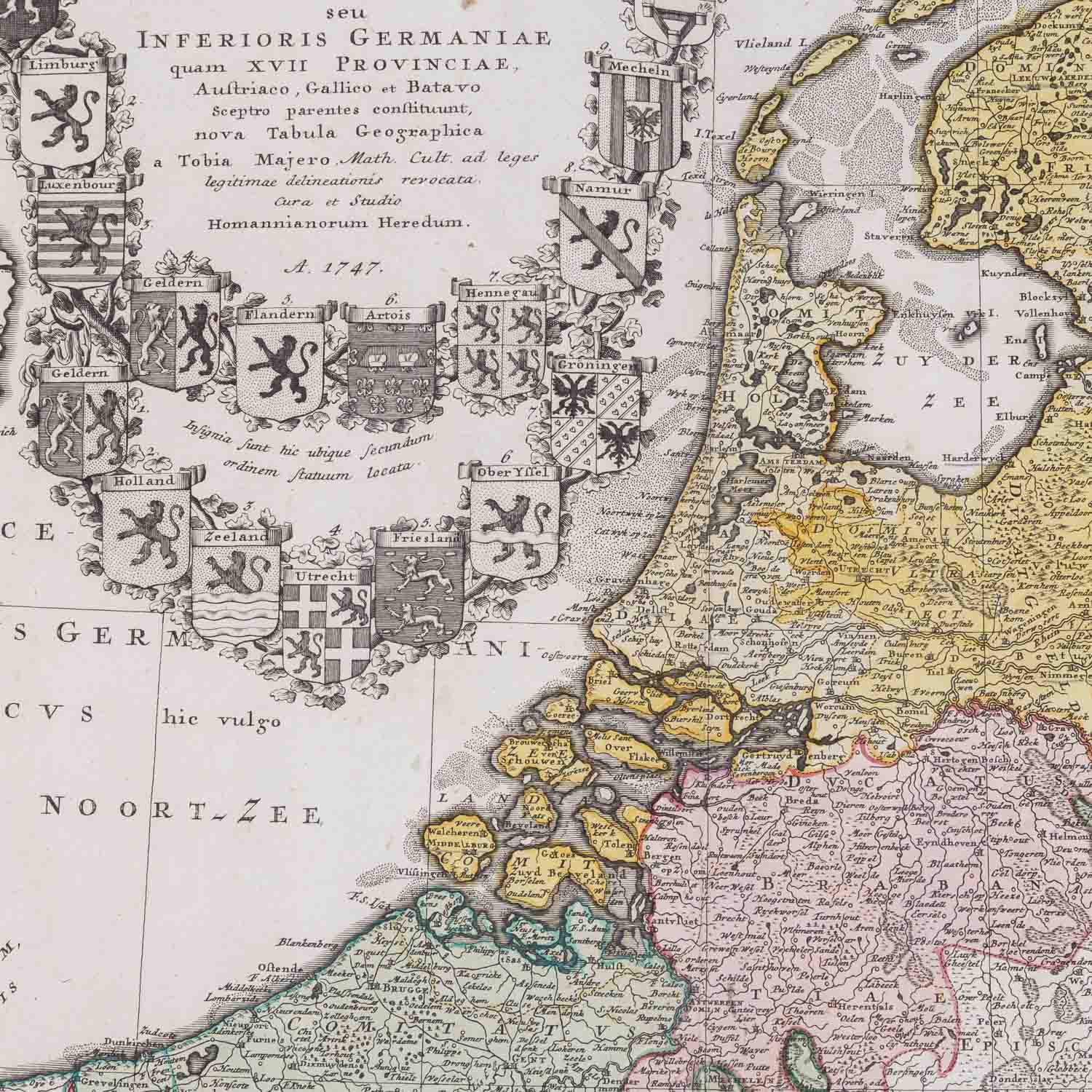
'Belgii Universi seu Inferioris Germaniae quam XVII Povinciae' von J.B. Homann 1747, Maße ca. 55 x 50 cm. 'Carte de France dessée pa Guillaume de l'Isle et accomodée par les Heritiers d'Homann, Regni Galliae seu Franciae Navarrae Tabula Geographica' von J.B. Homann 1741, Maße ca. 53 x 62, beide Karten an der Mittelfalz gerissen, Löcher, Flecken, Ränder angerissen, handkoloriert. Außerdem 'Schlestat une des villes imperiales d'Alsace' aus dem Mercator Hondius 1635, Maße ca. 28 x 23 Ausgeschnittene Karte, unkoloriert, Mittelfalz.
| Historical copper engraved maps Belgium, France and Alsace, 17. and 18. c. 'Belgii Universi seu Inferioris Germaniae quam XVII Povinciae' by J.B. Homann 1747, dimensions approx. 55 x 50 cm. 'Carte de France dessée pa Guillaume de l'Isle et accomodée par les Heritiers d'Homann, Regni Galliae seu Franciae Navarrae Tabula Geographica' by J.B. Homann 1741, dimensions ca. 53 x 62, both maps torn at centerfold, holes, stains, edges torn, hand colored. Except the 'Schlestat une des villes imperiales d'Alsace' from the Mercator Hondius 1635, measures ca. 28 x 23 Cut out map, uncolored, centerfold.
Category::
historical